🗺️ Google Maps Directions
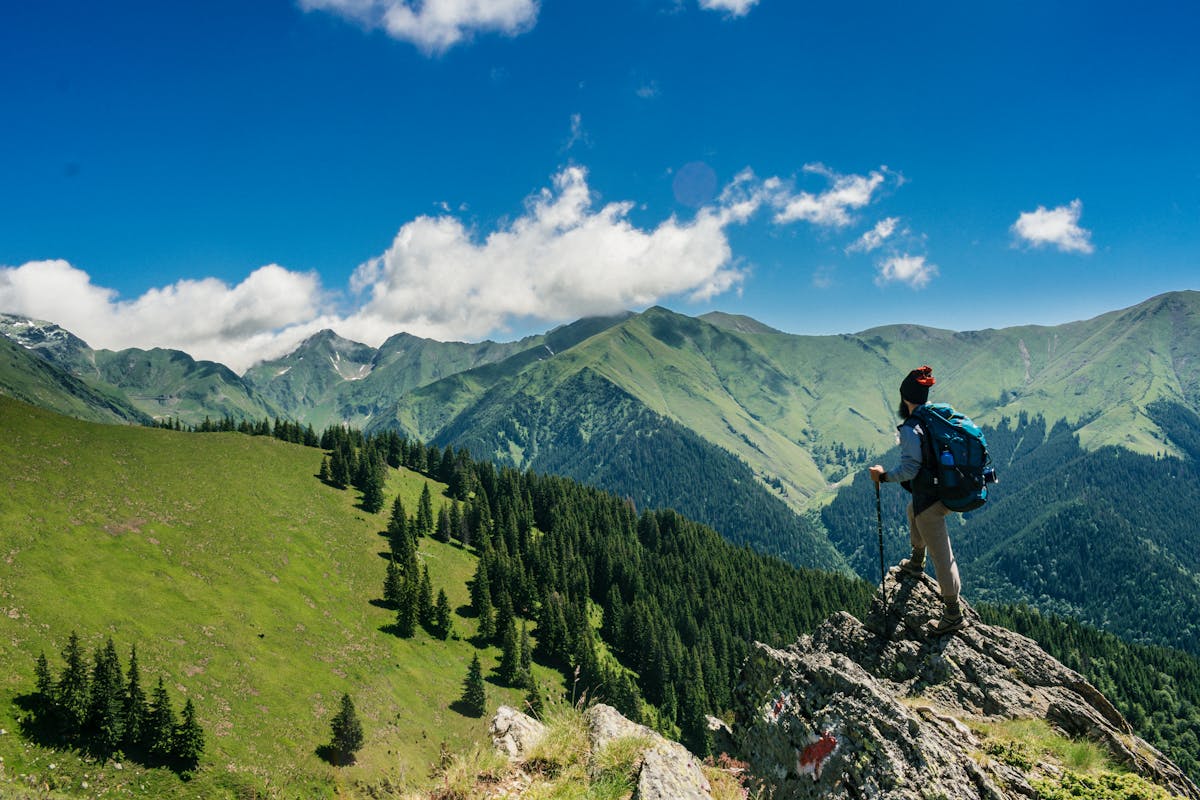
The Summit Lake Trail in Hatcher Pass is a true Alaskan gem, offering a short and sweet alpine tundra walk to a stunning lake at 3,300 feet. As you hike through the rolling hills and wildflower-filled meadows, the majestic Chugach Mountains rise up in the distance, providing a breathtaking backdrop to your adventure. With its easy difficulty rating and short distance, this trail is perfect for families or those looking for a gentle introduction to alpine hiking. And with the added bonus of being located just 75 miles north of Anchorage, it’s an easily accessible escape from the city.
Getting There & Parking
To get to the Summit Lake Trail, take the Glenn Highway north from Anchorage and turn left onto Hatcher Pass Road, following the signs to the Summit Lake State Recreation Area. The drive takes around 1.5 hours, and the road is generally well-maintained, although it can be rough in places. Be aware that the road may be closed due to snow or maintenance from October to June, so be sure to check the current status before heading out. Parking is available at the Summit Lake State Recreation Area for a fee of $5, and there are restrooms and picnic tables nearby.
Trail Description
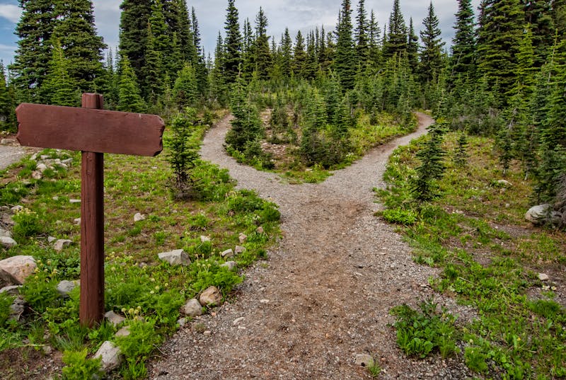
The Summit Lake Trail begins at the parking area and follows a well-marked path through the alpine tundra. The trail is generally flat and easy to follow, with a few short climbs and descents along the way. As you hike, you’ll pass through areas of low-lying shrubs and wildflowers, with the sound of birdsong and running water filling the air. The trail is approximately 1 mile to the lake, and the return journey is the same route. Be sure to keep an eye out for trail markers and signs, as the trail can be easy to lose in the rolling hills and meadows.
What You’ll See
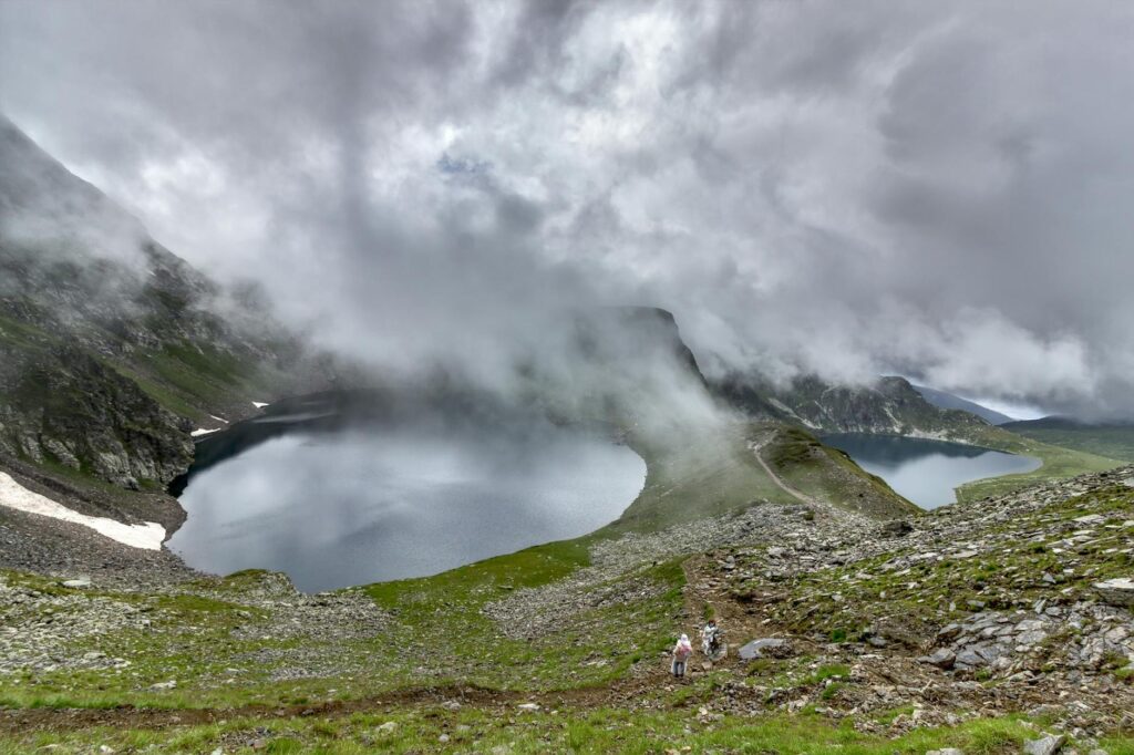
The Summit Lake Trail offers stunning views of the surrounding mountains and meadows, with a wide variety of wildflowers and shrubs on display. The lake itself is a beautiful spot, surrounded by rocky outcroppings and filled with crystal-clear water. Keep an eye out for wildlife, including ptarmigan, marmots, and the occasional brown bear. The trail is also a great spot for birding, with a wide range of alpine species to be seen. In the fall, the trail is ablaze with color, as the shrubs and trees turn brilliant shades of gold and orange.
What Locals Say
⚠️ Don’t Make This Mistake
Bear Safety on This Trail
The Summit Lake Trail is located in an area with known bear activity, and it’s essential to take necessary precautions to stay safe. Be aware of your surroundings and keep an eye out for signs of bears, such as tracks or scat. Make noise while hiking to avoid surprising bears, and stay in groups whenever possible. Consider carrying bear spray, and know how to use it properly. The most likely place to encounter bears on this trail is in the areas with dense vegetation and berry patches, so be extra vigilant in these areas.
What to Bring
To ensure a safe and enjoyable hike on the Summit Lake Trail, be sure to bring the following gear: hiking boots, waterproof jacket, trekking poles, and bear spray. It’s also a good idea to bring plenty of water, snacks, and a map and compass or GPS device.
FAQ
Q: Is the trail suitable for young children?
A: Yes, the Summit Lake Trail is a great option for families with young children, with a gentle grade and plenty of interesting things to see along the way.
Q: Can I bring my dog on the trail?
A: Yes, the trail is dog-friendly, but be sure to keep your dog on a leash and clean up after them.
Q: Are there any restrooms or amenities at the trailhead?
A: Yes, there are restrooms and picnic tables at the Summit Lake State Recreation Area, as well as a small parking area.
For more hiking options in the area, consider checking out the [Reed Lakes](/reed-lakes-trail-hatcher-pass/), [Lazy Mountain](/lazy-mountain-trail-guide/), or [Matanuska Peak](/matanuska-peak-trail-guide/) trails.
Views along Summit Lake Trail — Hatcher Pass, Hatcher Pass Road, MatSu Valley
The reward: Short alpine tundra walk to a beautiful lake at 3,300 ft
MatSu Borough Parks ↗