🗺️ Google Maps Directions
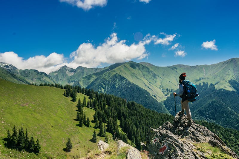
The Williwaw Lakes Trail is a true gem of South Anchorage, offering a moderate 13-mile round-trip hike that rewards adventurers with a chain of stunning alpine lakes, breathtaking mountain reflections, and genuine solitude, all just a stone’s throw from the city’s downtown. As you make your way through the scenic landscape, the sounds of the city give way to the calls of birds and the rustling of leaves, immersing you in the unspoiled beauty of Alaska’s wilderness. The trail’s unique combination of accessibility and remoteness makes it an attractive option for those seeking a true wilderness experience without venturing too far from civilization.
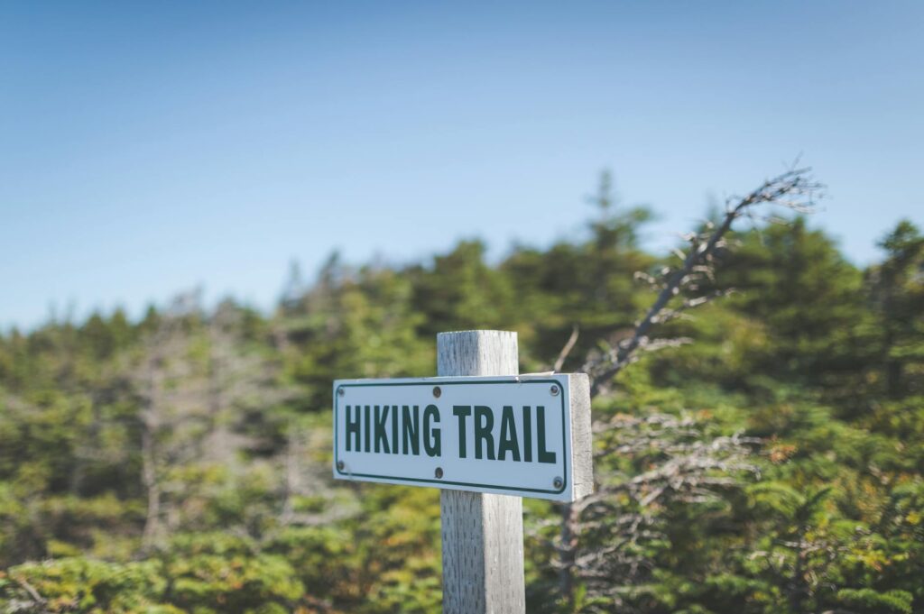
Getting There & Parking
To access the Williwaw Lakes Trail, head to the Glen Alps Trailhead, located at 61.0543° N, -149.7283° W. From Anchorage, take the Seward Highway south and exit at O’Malley Road. Continue on O’Malley Road for approximately 2.5 miles, then turn left onto Hilltop Drive. The Glen Alps Trailhead will be on your right, and parking is available for a $5 fee. Be sure to arrive early, as parking can fill up quickly, especially on weekends. Once you’ve parked, head south on the Powerline Pass trail and branch left to access the Williwaw Lakes Trail. Note that the trailhead is well-marked, but it’s always a good idea to bring a map and compass or GPS device to ensure you stay on track.
Trail Description
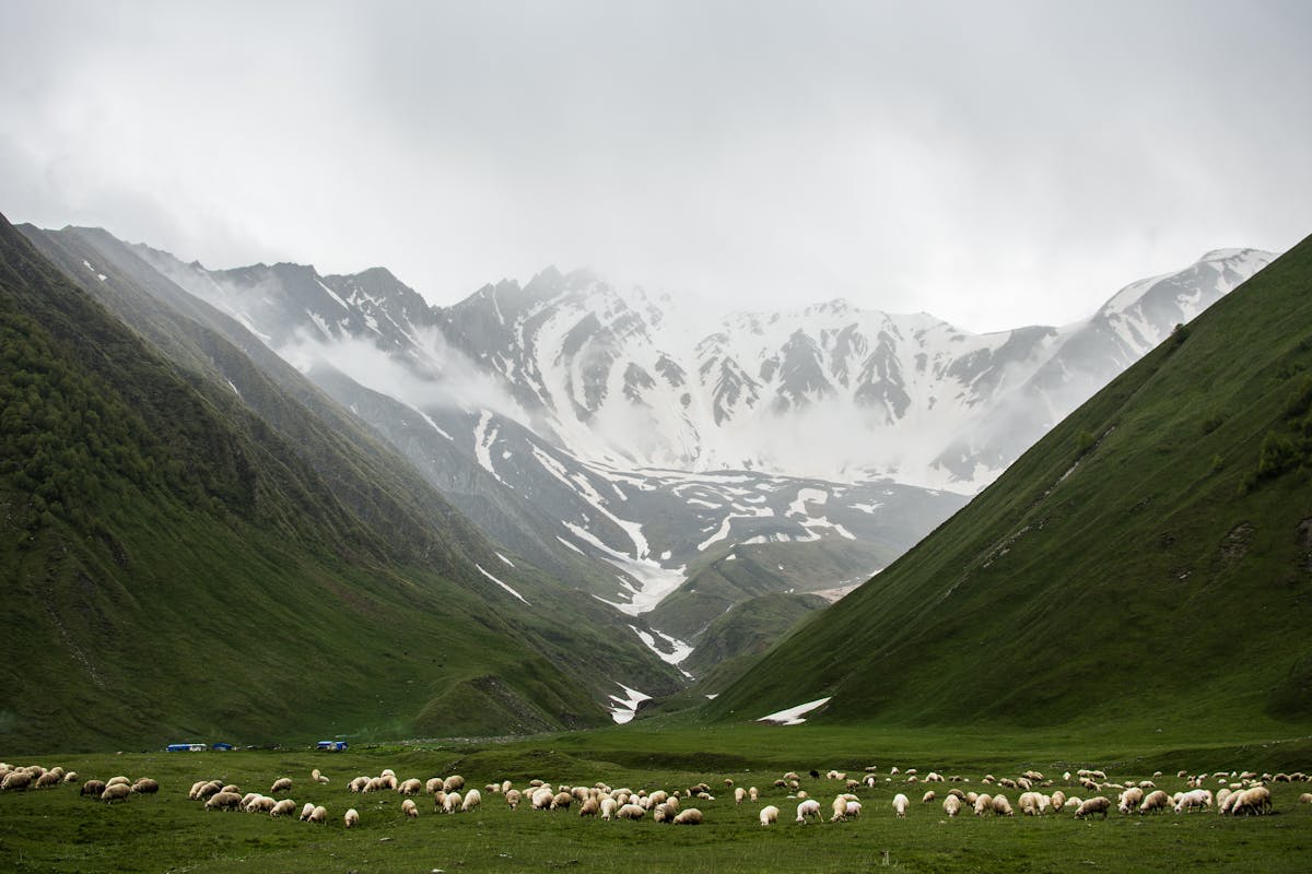
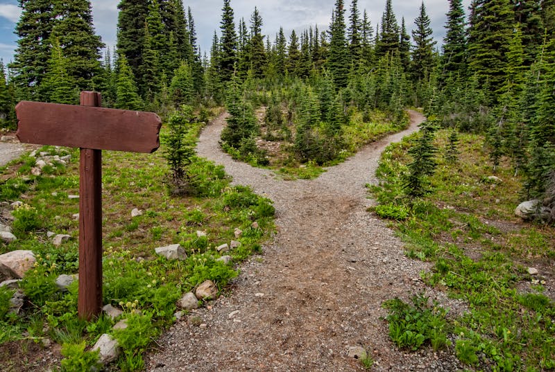
The Williwaw Lakes Trail begins at the Glen Alps Trailhead and follows the Powerline Pass trail for approximately 1.5 miles before branching left. The initial section of the trail is relatively flat and easy to navigate, but as you gain elevation, the terrain becomes more rugged and uneven. At around 4 miles, you’ll reach the first of the Williwaw Lakes, a stunning alpine lake surrounded by towering peaks and lush vegetation. The trail continues on, winding its way through the scenic landscape and offering breathtaking views of the surrounding mountains and lakes. Be sure to keep an eye out for key decision points, including a notable junction at around 6 miles, where the trail splits to access the upper lakes. The upper lakes are nestled in a classic glacial cirque, surrounded by 5,000+ ft walls and offering breathtaking views of the surrounding landscape.
What You’ll See
The Williwaw Lakes Trail offers a diverse range of landscapes and wildlife, making it a true gem of South Anchorage. The trail winds its way through a scenic valley, offering stunning views of the surrounding mountains and lakes. As you hike, keep an eye out for brown bears, which frequent the area, as well as Dall sheep, which can be spotted on the higher ridges. Marmots are also common near the lake shores, and the trail is home to a wide variety of bird species, including eagles, hawks, and owls. The upper lakes are surrounded by a stunning glacial cirque, with towering peaks and lush vegetation, making for a truly breathtaking sight.
What Locals Say
⚠️ Don’t Make This Mistake
Bear Safety on This Trail
The Williwaw Lakes Trail is known for its brown bear activity, and hikers should be prepared for encounters. The most likely places to encounter bears are near the lakes and in areas with abundant berry patches. Be sure to make plenty of noise while hiking, and consider bringing bear spray as a precaution. If you do encounter a bear, remain calm and follow proper protocol, including giving the bear a clear path to leave and avoiding direct eye contact.
What to Bring
To ensure a safe and enjoyable hike on the Williwaw Lakes Trail, be sure to bring the following gear: hiking boots, trekking poles, water filter, bear spray, and first aid kit. Additionally, consider bringing a map and compass or GPS device, as well as plenty of water, snacks, and sunscreen.
FAQ
Q: How long does it take to hike the Williwaw Lakes Trail?
A: The hike typically takes 6-9 hours to complete, depending on your pace and the amount of time you spend taking in the views.
Q: Are dogs allowed on the trail?
A: Yes, dogs are allowed on the trail, but they must be kept on a leash.
Q: What is the best time of year to hike the Williwaw Lakes Trail?
A: The best time to hike the trail is from late June through September, when the wildflowers are in bloom and the weather is generally more favorable.
If you’re looking for more hiking options in the area, be sure to check out the Powerline Pass, Rabbit Lake, and Flattop Mountain trails, all of which offer unique and breathtaking views of the surrounding landscape.
Views along Williwaw Lakes Trail, Glen Alps Trailhead, South Anchorage
The reward: Chain of remote alpine lakes with incredible mountain reflections
Chugach State Park ↗