
🗺️ Google Maps Directions
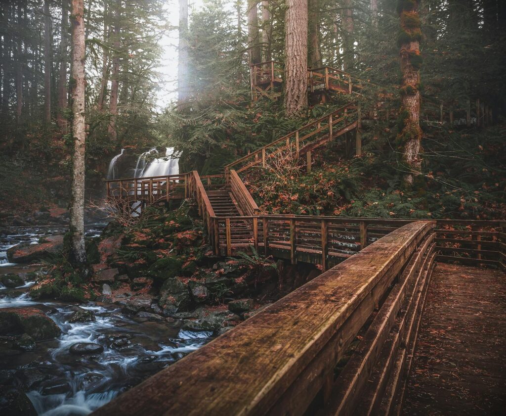
The McRoberts Creek Trail is a hidden gem in the MatSu Valley, offering a serene and immersive hiking experience that’s far removed from the crowds that flock to more popular trails. As you make your way up the valley, the sounds of civilization give way to the gentle rustle of leaves, the chirping of birds, and the gentle gurgling of McRoberts Creek. The trail winds its way through a lush forest, the trees growing taller and the underbrush thicker as you ascend, until you finally break out into a wide, open basin surrounded by towering peaks. It’s a truly breathtaking sight, and one that’s sure to leave even the most seasoned hiker in awe.
Getting There & Parking
To get to the McRoberts Creek Trailhead, take the Old Glenn Highway from Anchorage and turn onto McRoberts Creek Road, which is approximately 45 miles from the city. The road is rough and unmaintained, so be sure to drive slowly and exercise caution. The parking area is located at the end of the road, and it’s free to park. Be aware that the road can be impassable during periods of heavy rain or snowmelt, so be sure to check the conditions before you head out. Additionally, be mindful of the private property that surrounds the trailhead, and be respectful of the landowners by staying on the designated trail and not trespassing.
Trail Description
The McRoberts Creek Trail is a 10-mile out-and-back hike that gains approximately 2,400 feet in elevation. The trail begins at the parking area and immediately enters a dense forest, where it follows the creek for about 2 miles. At this point, the trail begins to climb more steeply, winding its way up the valley through a series of switchbacks. At around the 4-mile mark, the trail breaks out of the forest and into a wide, open basin. From here, the trail continues to climb, eventually reaching a high point with stunning views of the Matanuska Glacier and surrounding peaks. Be sure to keep an eye out for key decision points along the way, including a fork in the trail at around the 3-mile mark, where you’ll need to stay left to continue on the main trail.
What You’ll See
The McRoberts Creek Trail offers a wide range of stunning scenery, from the lush forest and sparkling creek at the lower elevations to the wide, open basin and towering peaks at the higher elevations. Along the way, you’ll have the opportunity to see a variety of wildlife, including brown bears, moose, and Dall sheep. Be sure to keep an eye out for these amazing creatures, and be aware of your surroundings at all times. The trail also offers stunning views of the Matanuska Glacier, which is a must-see for anyone interested in glaciers and glaciology. The glacier is a stunning sight, with its deep blue color and towering seracs, and it’s a great place to learn about the geology and ecology of the area.
What Locals Say
⚠️ Don’t Make This Mistake
Bear Safety on This Trail
The McRoberts Creek Trail is located in an area with a high concentration of brown bears, and hikers should be prepared for the possibility of an encounter. The most likely place to encounter a bear is in the lower elevations, where the trail follows the creek and passes through areas with dense vegetation. Be sure to make noise while hiking, and to stay alert for signs of bears, such as tracks or scat. If you do encounter a bear, stay calm and follow the recommended protocol, which includes speaking in a calm voice, giving the bear plenty of space, and avoiding direct eye contact.
What to Bring
To ensure a safe and enjoyable hike on the McRoberts Creek Trail, be sure to bring the following items: hiking boots, trekking poles, water filter, first aid kit, and map and compass. It’s also a good idea to bring a personal locator beacon (PLB) in case of an emergency.
FAQ
Q: What is the best time of year to hike the McRoberts Creek Trail?
A: The best time to hike the McRoberts Creek Trail is from late June to early September, when the weather is warm and dry.
Q: Are there any camping opportunities along the trail?
A: Yes, there are several camping spots along the trail, including a few designated campsites near the upper basin.
Q: Can I bring my dog on the hike?
A: Yes, the McRoberts Creek Trail is dog-friendly, but be sure to keep your dog on a leash and under control at all times. If you’re looking for more hiking opportunities in the area, be sure to check out the Lazy Mountain, Matanuska Peak, and Harp Mountain trails.
Views along McRoberts Creek Trail, MatSu Valley (Palmer area)
The reward: Quiet valley hike following McRoberts Creek into a wide alpine basin
MatSu Borough Parks ↗